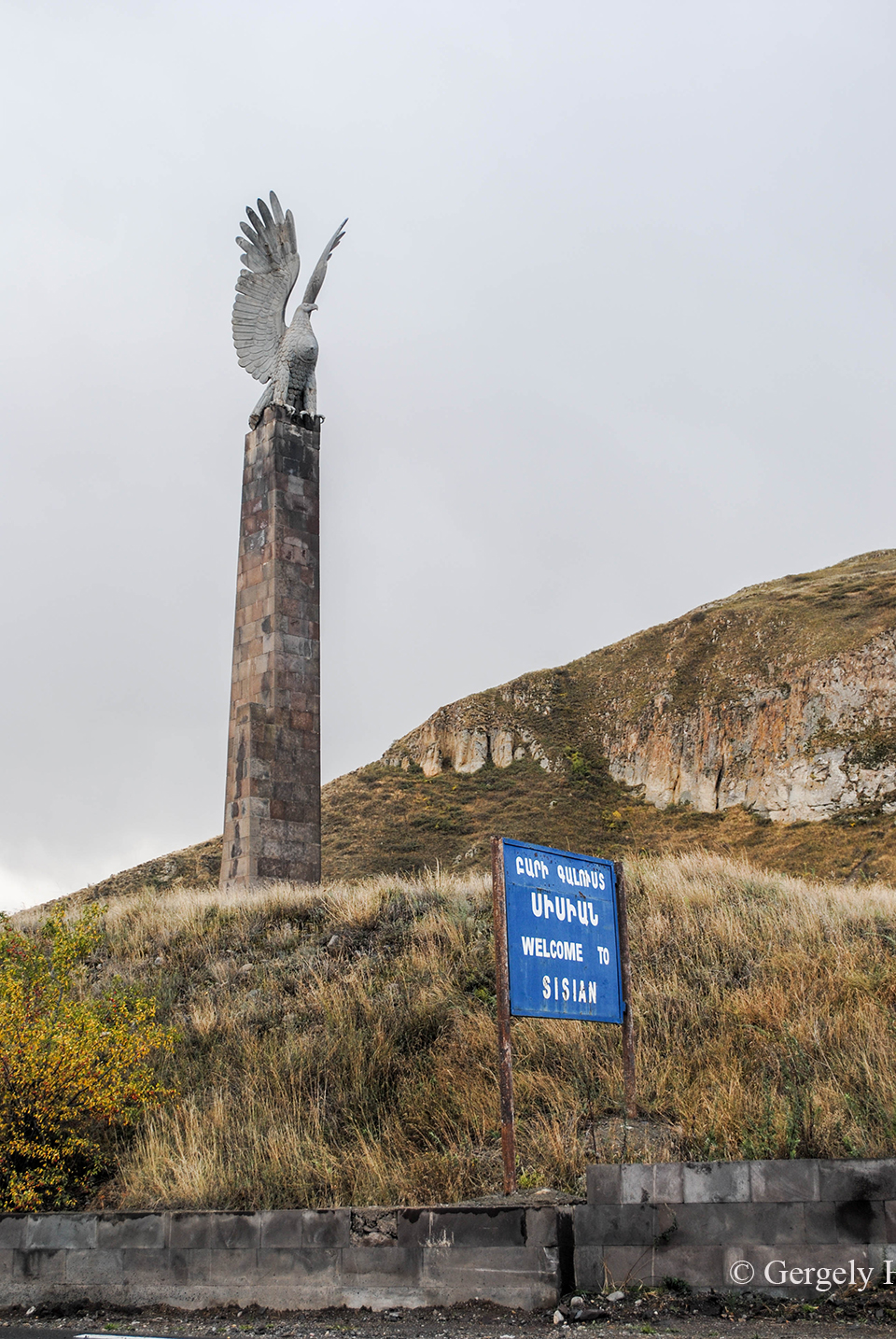
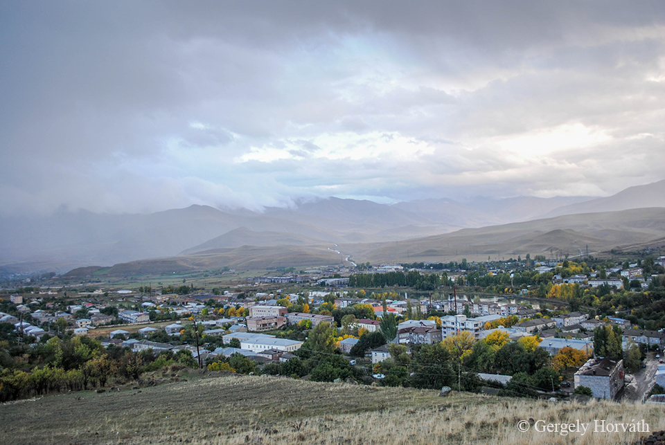
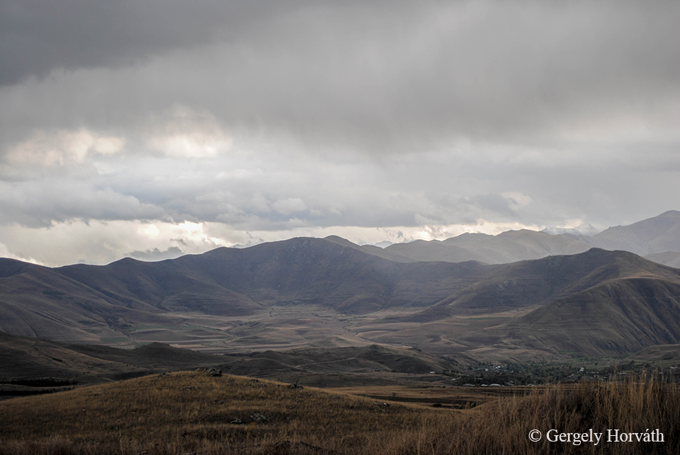
Sziszian egy közel 15 ezres városka Örményország déli részén, Szjunik tartományban. Bár a régió és a város történelme igen gazdag, ez önmagában nem predesztinálná arra, hogy kiemelt turisztikai célpont legyen. Ahhoz, hogy megértsük, miért keresik fel mégis rengetegen, nem a városban, hanem annak környékén kell válasz után keresgélnünk.
Sisian is a small town with 15.000 inhabitants in Syunik province, at the southern part of Armenia. Although, the history of this town is very rich this fact alone would not make this region a promoted tourist destination. To understand, why many people choose to travel here we should look not exactly in the town but it's surroundins.
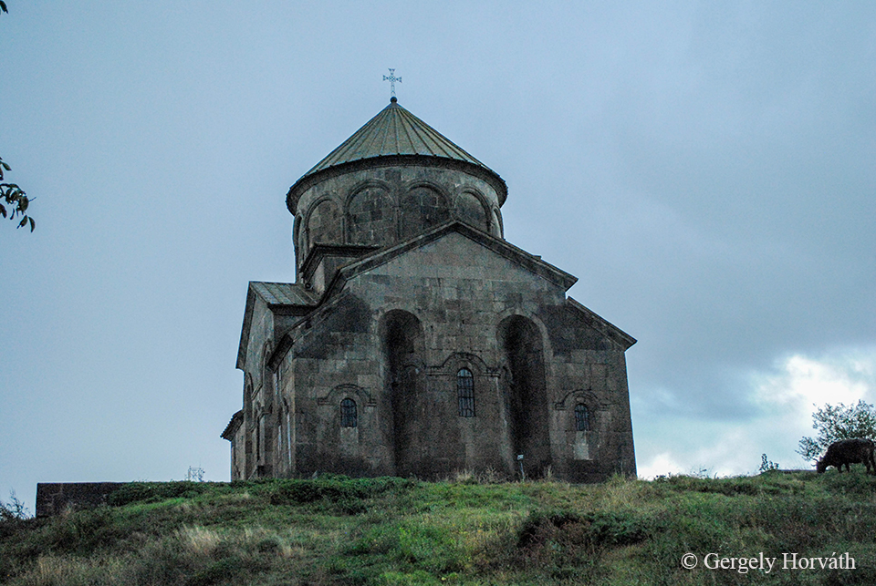
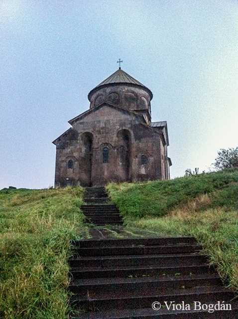
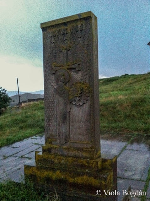
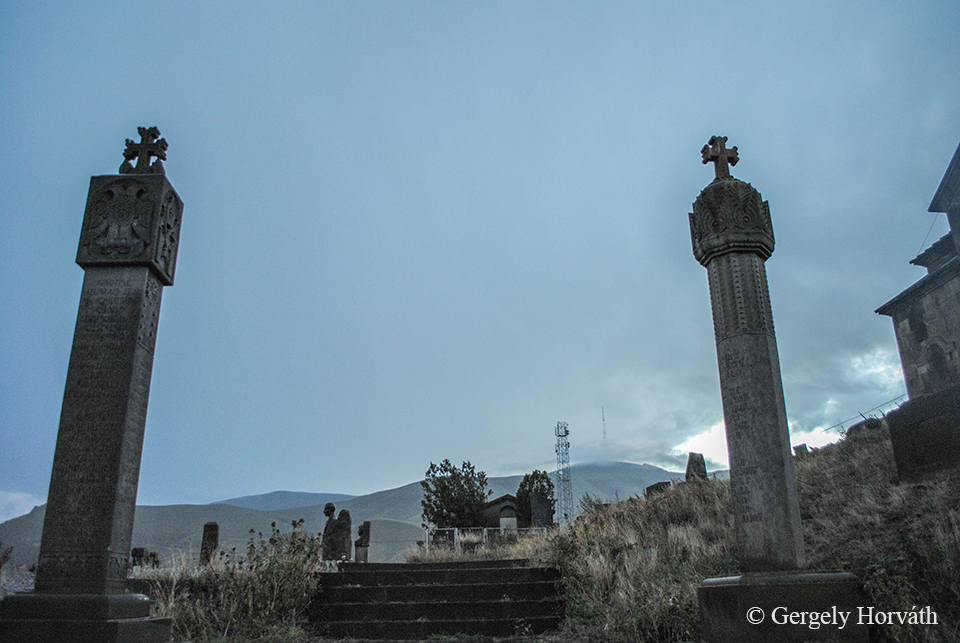
A Szent János (Szurb Hovhannes) templom, más néven Sziszavan, Sziszavank, Szjuni Vank vagy egyszerűen csak Fekete templom 691-ben épült.
The St. John (Surb Hovhannes) church was built in 691 AD. Known also as Sisavan, Sisavank or Black Church.
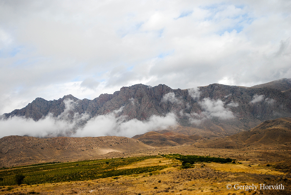
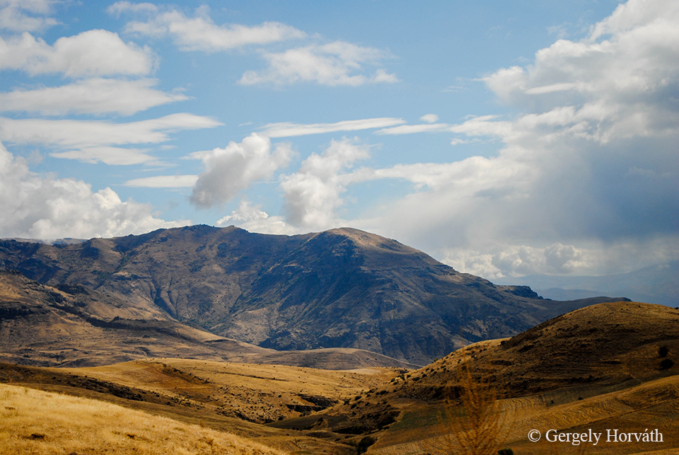
Bár több szempontból is erőltetett az összehasonlítás, de úgy gondolom, hogy Sziszian és Kazbegi között annyiban párhuzam vonható, hogy mindkét település turisztikai értékét a környező táj jelenti. Bár nálam Sziszian abszolút favorit, mégpedig az emberi kultúra itt megtalálható több ezer éves nyomai miatt. Mindazok a kézzelfogható emlékek, melyeket a régmúlt embere itt hagyott hátra, a lenyűgöző és első látásra fenyegetőnek tűnő hegyekkel együtt nagyon erőteljesen hozzájárulnak ahhoz, hogy egy rövid látogatás maradandó élményeket nyújtson annak, aki szán egy kis időt arra, hogy jobban körülnézzen és átjárja a környék hangulata. Nekem személy szerint Sziszian volt a kéthetes út csúcspontja, spirituális értelemben is.
Making a comparison between Kazbegi and Sisian is maybe far-teched, but both town's major turistical value is the landscape. But Sisian became my personal favourite because of the thousands of years old landmarks of human culture can be found around the town. All the memories left behind by the people of the past together with the breathtaking and menace-looking mountains creating a very unique athmosphere. I believe that if someone take the time to look around here the experience will last for a long time. For me the height of the two week journey was definetly the time we spent around Sisian.
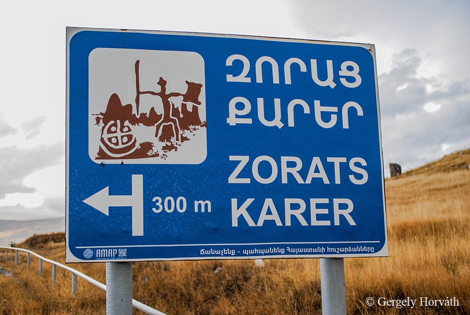
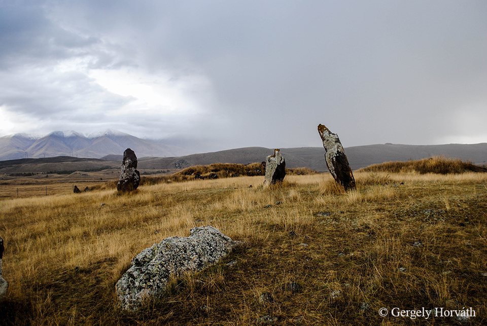
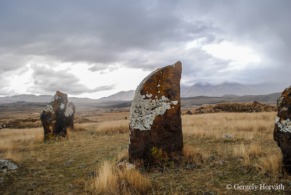
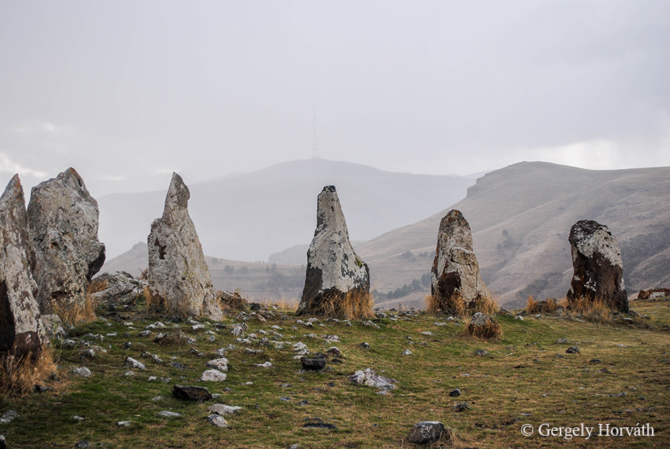
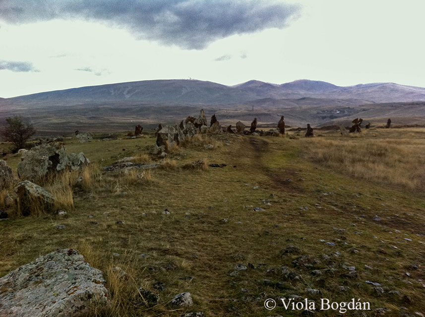
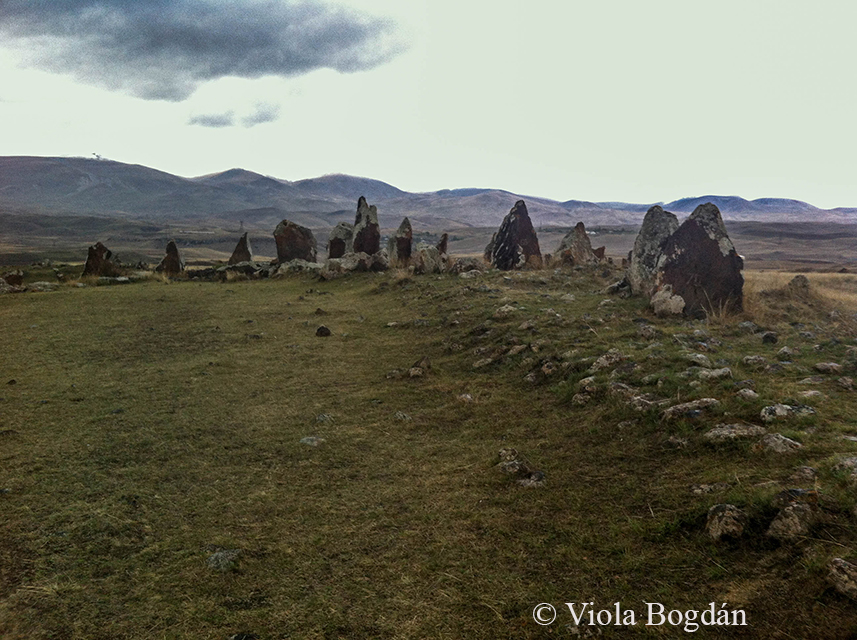
A környék fő látványosságainak egyike a Zorac Karer (más néven Karahundzs vagy Carahunge). A várostól néhány km-re északkeleti irányban, a Dar és a Vorotan folyók összefolyásánál, egy sziklaormon található bronz-vaskori kőköröket "Örmény Stonehenge"-nek is nevezik, habár angol párjánál jóval idősebb.
One of the main sights is the Zorats Karer (sometimes called as Karahunj or Carahunge) situated a few miles north-east from the town on a rocky promontory at the tributary of the rivers Dar and Vorotan. These menhirs are dated back to the Middle Bronz - Iron Age and sometimes called the 'Armenian Stonehenge' however, it's older than it's english counterpart.
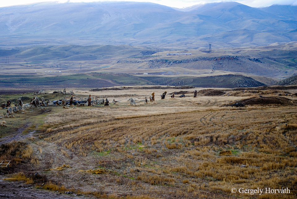
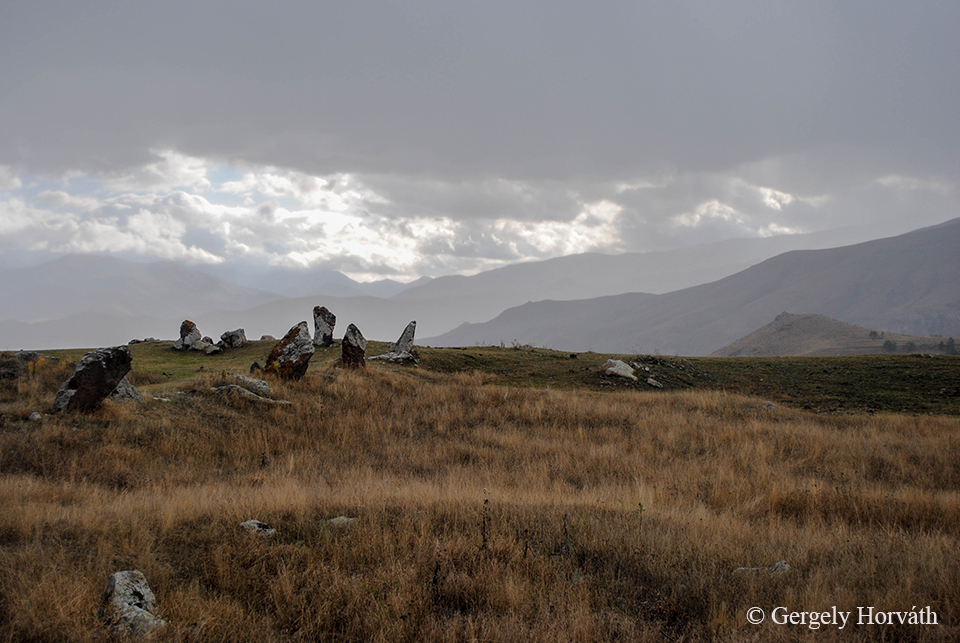
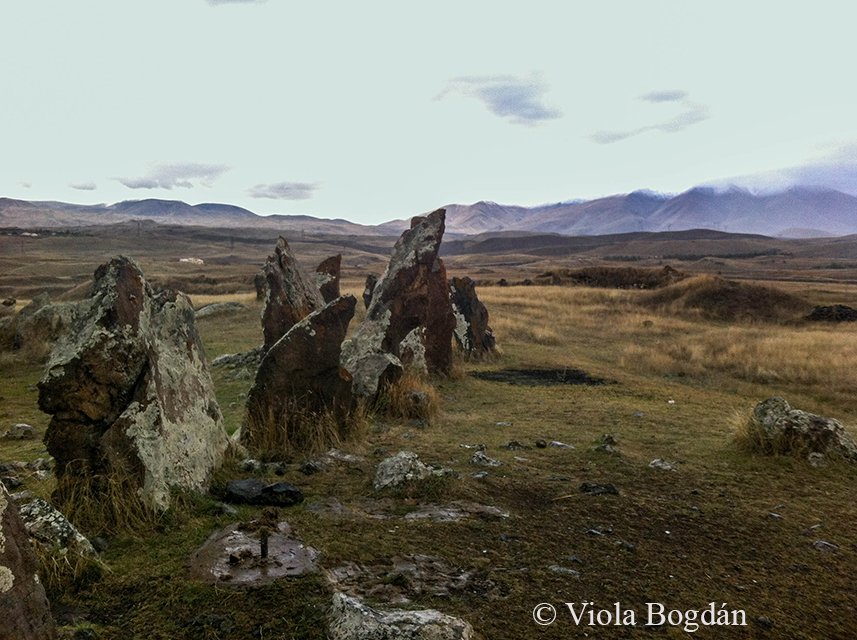
Az örmény Zorac Karer kifejezés "hadi kövek" jelentéssel bír, míg a Carahunge összetétel "beszélő kövek" értelmű, ami a szeles időben a kövek által adott fütyülő hangra utal. Ezt az okozza, hogy a kövek nagy részén egy, vagy több faragott lyuk található.
The Armenian name Zorats Karer means 'Army Stones' while the Carahunge refers to the words 'stone' and 'sound' ('Speaking Stones') since the stones making whistling sounds on a windy day because of the reach-trough holes can be found on many of them.
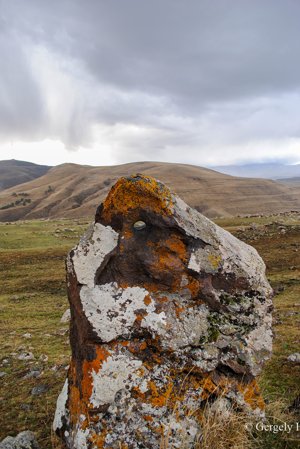
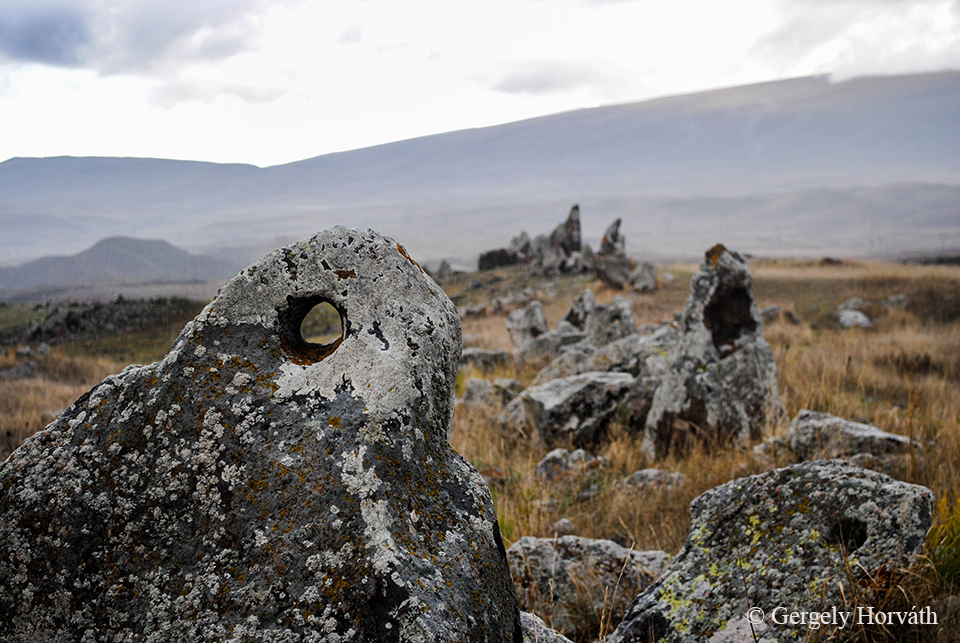
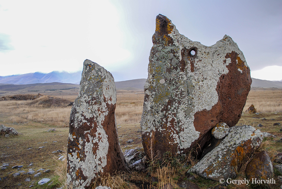
A lyukak miatt sokan úgy gondolják, hogy a hely csillagászati célokat szolgálhatott (2004 óta hivatalosan Karahundzs Obszervatóriumnak hívják a területet). A legnagyobb probléma ezzel, hogy az sem tudni biztosan, hogy a lyukak egyidősek-e a kövekkel. Sok tudós ezért inkább ősi településnek, nekropolisznak véli a Zorac Karert és katona-sírhelyek jelzőjét látja a kövekben.
Because the holes are bored under different angles the most popular view is that this are served as an observatory in ancient times (since 2004 the official name of the site is Karahunj Observatory). But since we do not know if the holes are prehitoric in origin, many scholars debates the purpose of the Zorats Karer for astronomical observation and claims that this place is more likely a necropolis and the stones signs tombs of soldiers.
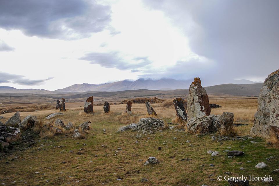
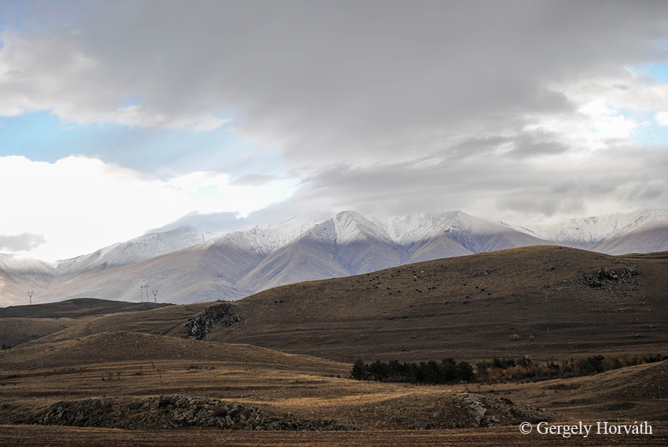
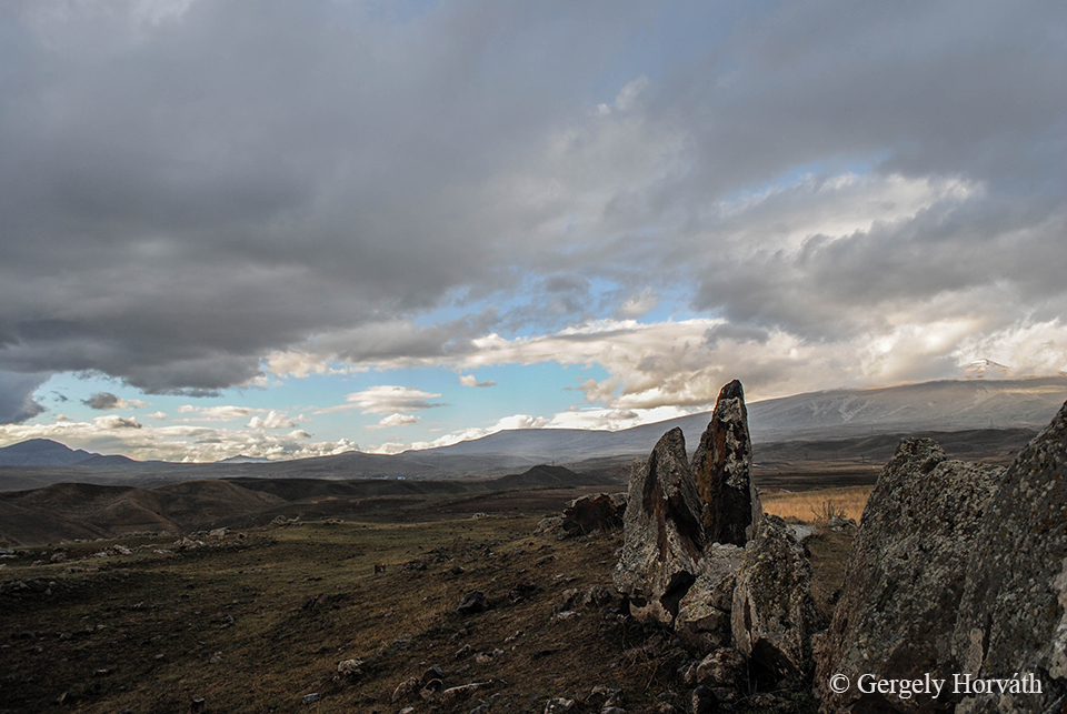
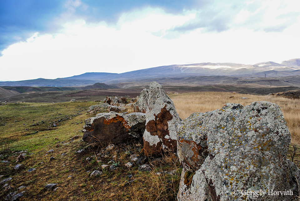
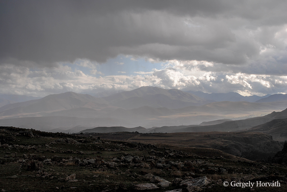
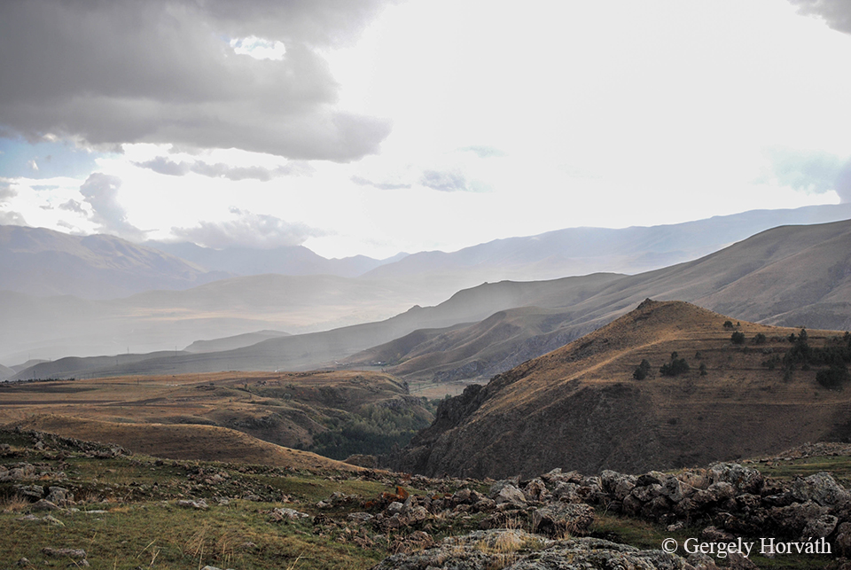
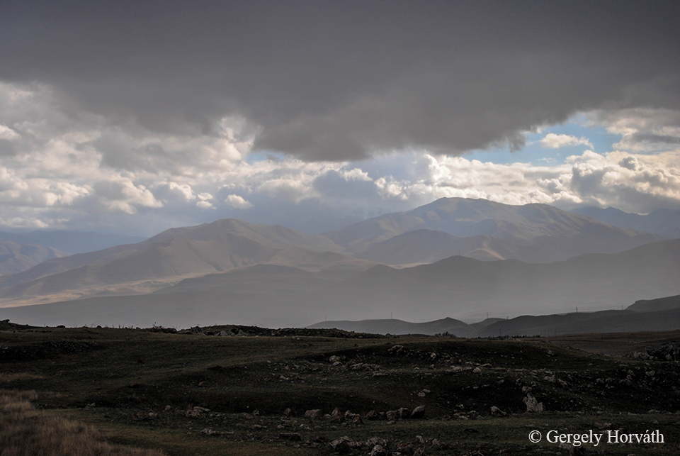
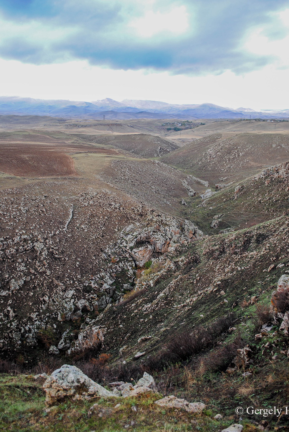
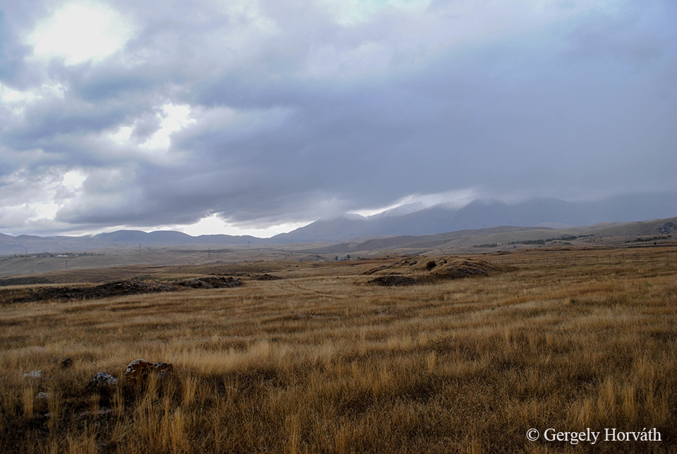
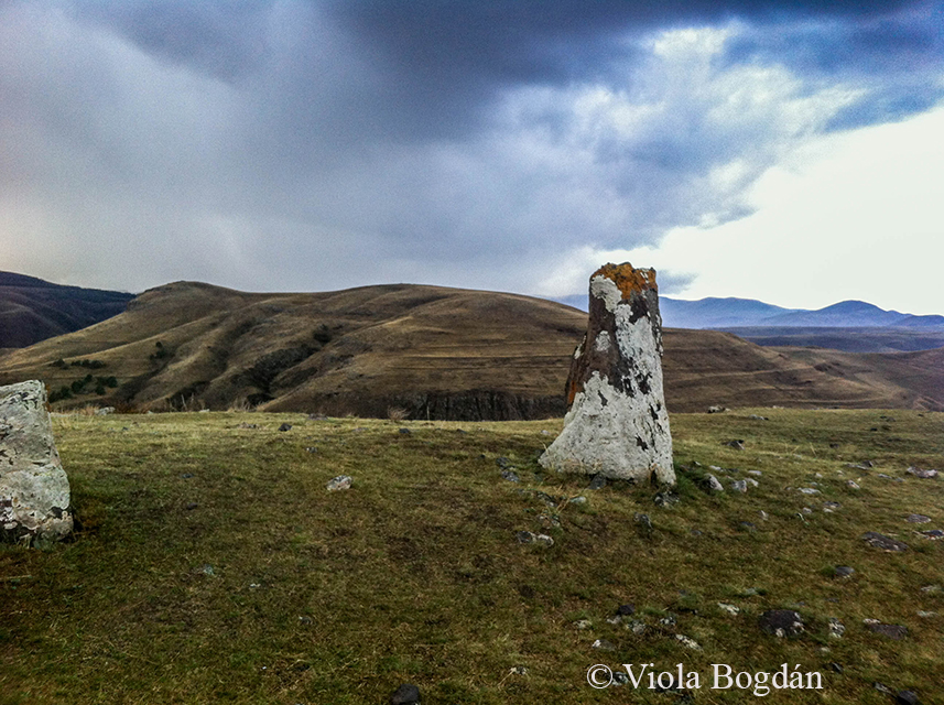
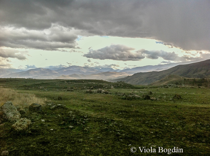
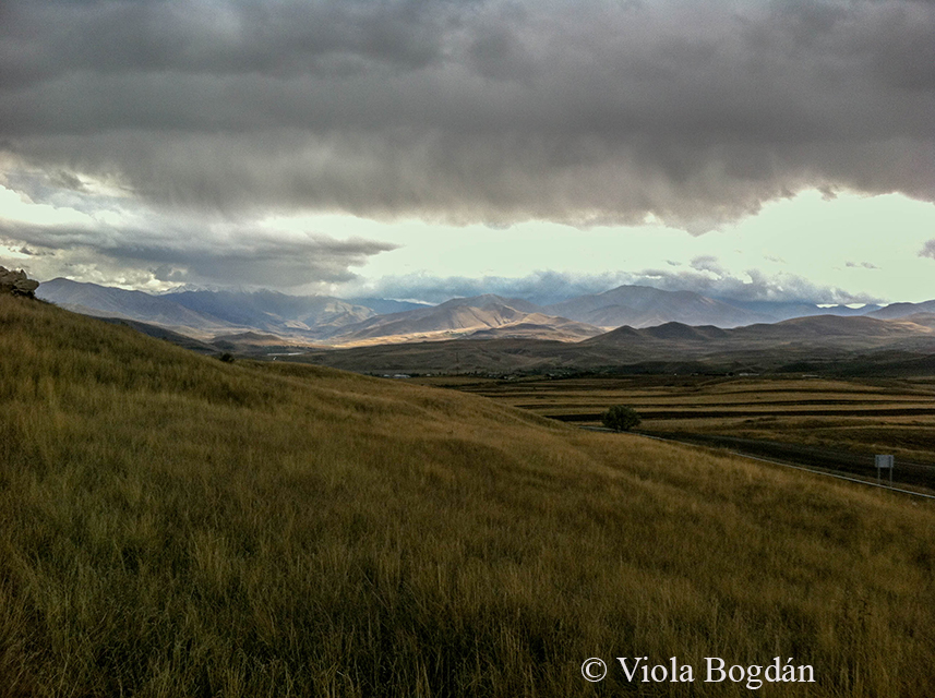
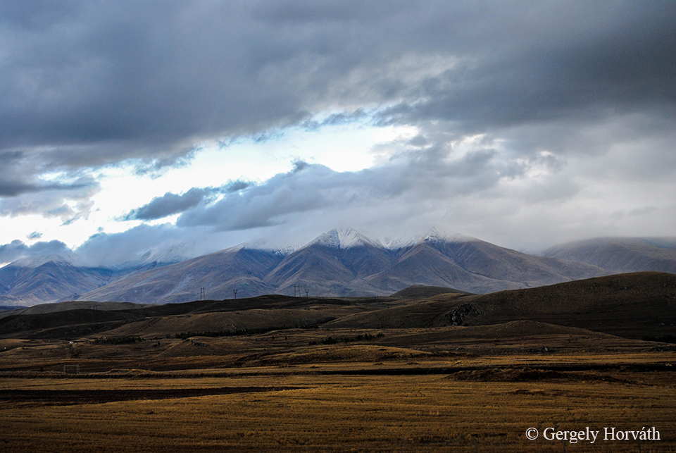
Háttérben a Zangezur-hegység. Azon túl már Nahicseván, Azerbajdzsán exklávéja és autonóm tartománya fekszik.
The Zangezur mountains in the background. Over this range lies the Nakhchivan Autonomous Republic, the exclave of Azerbaijan.
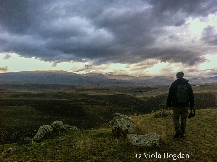
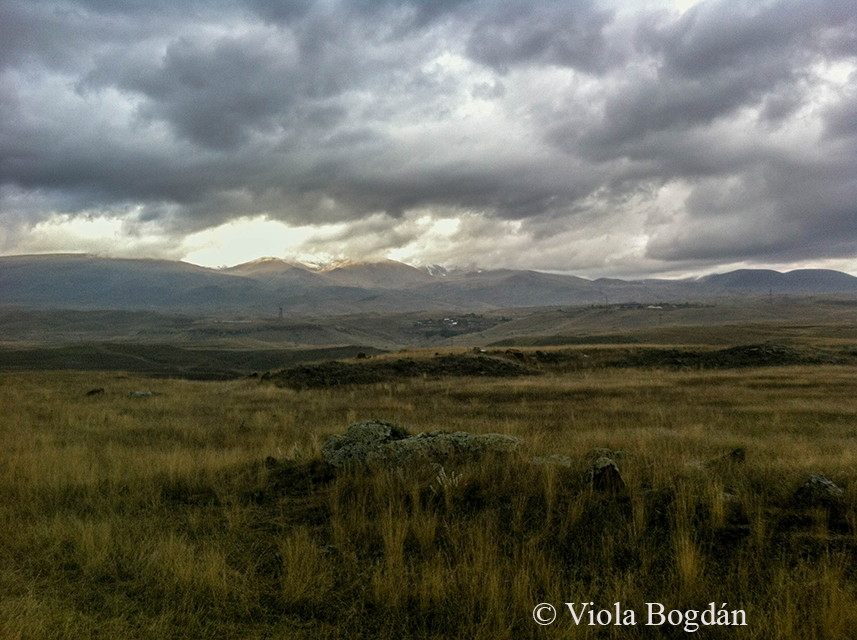
A következő bejegyzésben Sziszian másik két nevezetességéről, a Shaki vízesésről és az Ugtazar sziklarajzairól olvashattok.
In the next post you can read about the other two main landmarks around Sisian: The Shaki waterfall and the Ughtasar petroglyphs